Exploring the Iconic London Overground Map

Interactive Overground Maps
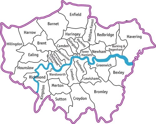
London’s transport can feel overwhelming, but the london overground map brings clarity to its sprawling network. Launched in 2007 by Transport for London, this system connects suburbs to the city, guiding millions from daily commutes to weekend adventures. As crucial as a Tube map or a British brolly, the london overground map links stations to communities. Whether you’re a local or a visitor, it’s your key to navigating London. Spanning Zones 1 to 6, it covers 113 stations as of March 2025, with expansions like the Barking Riverside extension. Part of our London Map series—let’s dive in!
A history of our Overground
The london overground map supports over 600,000 weekly trips, per TfL data. It spans six routes, from Highbury to West Croydon, with 24-hour weekend services added in 2024.


Making the Most of the Overground Map
The london overground map simplifies travel—perfect for trips from Hampstead Heath to Stratford or exploring lesser-known stops like Gospel Oak. The interactive version lets you plan routes with ease, checking real-time updates, while the london overground map pdf is a handy offline companion for those signal-dead zones beyond the city.
Practical Travel Tips
It reveals the charm of diverse areas, from Dalston’s thriving arts scene to Clapham’s bustling markets, and even quieter spots like Willesden Junction. With 2025’s upgrades, including 24-hour weekend services and improved accessibility, it’s an ideal time to discover London’s outer reaches. Scroll the interactive map below, download the PDF, and start your Overground journey—whether it’s a quick commute or a weekend escape, this map has you covered!

Join the Journey and Explore London
Subscribe for exclusive updates and tips to make the most out of your London experience.