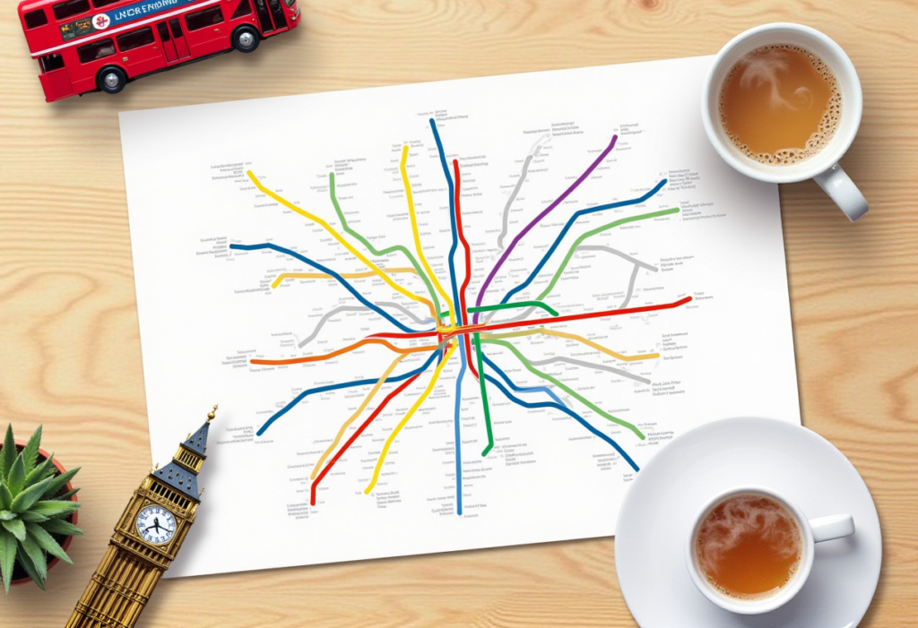
Exploring the Iconic London Tube Map

Interactive Tube Maps
The Underground, affectionately known as the Tube, is the lifeline of the capital’s transport network. Since its launch in 1863, it has grown into an expansive system, carrying millions daily across boroughs and beyond. But what truly defines it is the iconic rail diagram—a design as recognisable as Big Ben or a red double-decker. Whether you’re a local commuter or a visitor, this layout is your key to moving around the city with confidence.
A history of our Tube
Originally a confusing network of overlapping lines, the Tube layout was transformed in 1931 by Harry Beck. His breakthrough? Prioritising readability over geography. With straight paths and colour-coded routes, Beck’s version turned chaos into clarity. Today, the system spans 11 lines and 272 stations, reaching from Zone 1 at the centre to Zone 9 on the edge. It’s not just functional—it’s a piece of cultural design history.


Making the Most of the Tube Map
Once you’ve got the Tube diagram in hand, the city becomes easy to navigate. Whether you’re heading from Camden Town to Covent Garden or riding out to Richmond for a day trip, this planner is your reliable guide. The digital version offers live updates, while the downloadable PDF is ideal for offline use when signal drops.
Practical Travel Tips
What makes this layout truly special is its storytelling. It’s more than a way to get from A to B—it reveals the city’s layers of history and design. Why is Mornington Crescent so legendary? How do the DLR and Overground integrate? Browse the lines and uncover stories behind each stop. Dive in: scroll through the interactive version or download the PDF to begin your journey through the capital.

Join the Journey and Explore London
Subscribe for exclusive updates and tips to make the most out of your London experience.